Bob Hickey'sHome page
Professor of Geography, Executive Director - Pacific Division AAAS, and owner of the best dog ever.
MORE DETAILS

Class Information
Current Classes (Winter 2024)
Looking for GIS Jobs?
- NW Geography Jobs List
- ENST website (links to their facebook page, among other links)
Material you should know for any geotechniques class
- The Computer Science for GIS Users basic knowledge website.
- How to use a semicolon!
Old Classes (taught within the last 5 years or so):
- DHC 180: Environmental Pollution (winter 2022)
- Geog 107: Our Dynamic Earth. Geog 107: Our Dynamic Earth (Fall 2022)
- Geog 301: Intro to GIS and Maps (Fall 2022)
- Geog 417: Advanced GIS (Spring 2022)
- Geog 430: Remote Sensing (winter 2022)
- Courses taught with only a Canvas presence: ENST 201: Earth as an Ecosystem (fall 2023), ENST 400: Environmental Methods and Analysis (Spring 2023)
NOTES:
- Email Etiquette: Guidelines for writing to your professors
- All of us need to take this bullshit class.
- Some notes on plagarism. More at wikipedia.
- How to cite papers, websites, etc. All the major styles are covered here. If you're not sure which to use, I suggest APA.
- If you don't know how to touch-type, you will be in for a very long quarter (and career) spending way too much time trying to type. The time you spend learning will pay for itself in one quarter.
- Also, for those of you who have never read a guide to netiquette and cell phone etiquette (the do's and don'ts of communicating electronically), please visit wikipedia's site - which includes links to many other pages.
- Radical Cartography. Cool maps and stuff (goto "Yummy"). Worth a browse
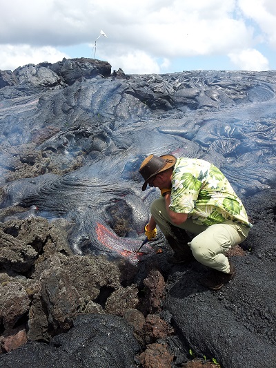
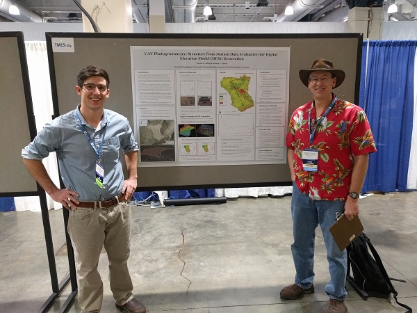
research
My research generally revolves around GIS and remote sensing applications in environmental modeling. I've worked with everything from archaeology to rattlesnakes, with many things inbetween. A full list of my projects and publications can be found in my CV.
Software
- Gridmaker software: a standalone executable which generates a regularly spaced point grid (text file) that is based on the user's inputs (min/max x,y and spacing).
- Slope angle and slope length calculations.
About Me
- My academic curriculum vitae (28 pages, only read if you need sleep).
- My much shorter (3 page) non-profit oriented resume.
- My researchgate profile.
- LinkedIn.
- Academic cartoon of the day.
- Kraken Woodworking.
- American Association for the Advancement of Science, Pacific Division.
Get in touch !
Robert HickeyDepartment of Geography, Central Washington University
400 East University Way
Ellensburg, WA 98926 509-963-2178 (office)
rhickey@cwu.edu